Bathymetry
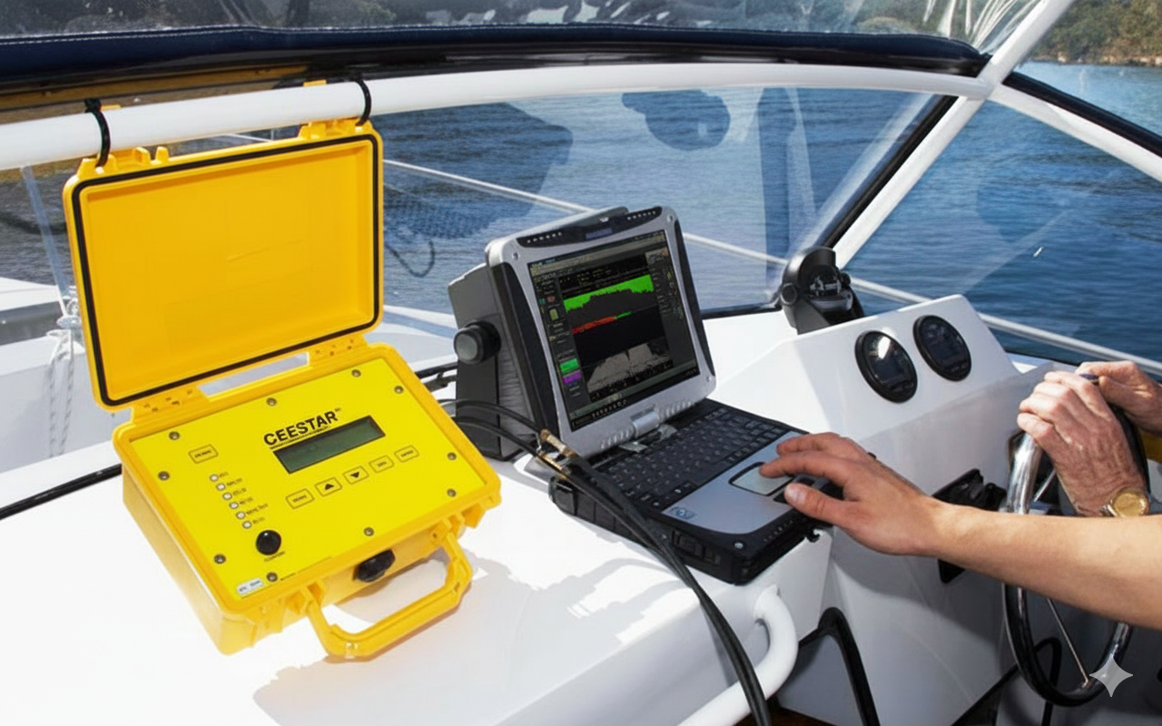
We generate digital models of submarine terrains, essential for nautical cartography, dredging studies, and coastal infrastructure projects. Bathymetric studies represent a fundamental component for the safe and efficient development of marine projects. Through the use of cutting-edge technology, we perform submarine topographic surveys that allow precise characterization of the relief of marine bottoms, lakes, rivers, and other water bodies.
Key Features
-
Digital Submarine Terrain Models
We generate precise digital models of submarine terrains using cutting-edge technology to characterize marine bottom relief with high precision.
-
Nautical Cartography
We provide essential data for nautical cartography and nautical chart updates, ensuring safe navigation in coastal and port waters.
-
Dredging Studies
We perform submarine topographic surveys critical for planning dredging projects and maintenance of navigation channels.
-
Environmental Assessments
We execute environmental assessments and sedimentation studies that provide fundamental information for coastal infrastructure projects.
-
Offshore Structure Installation
We supply fundamental bathymetric data for safe and efficient installation of offshore structures and marine infrastructure projects.